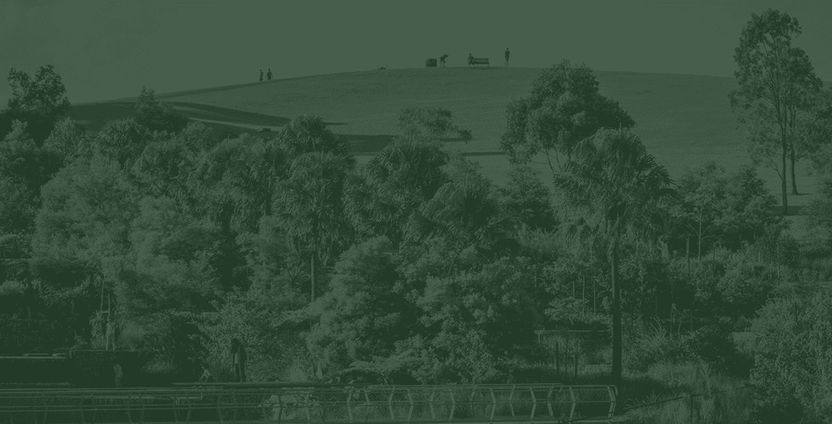
We know the community is interested in the technical studies that outline how we can protect Sydney Park.
This page provides a summary of the work that is being completed for the SSDA. Full reports will be available on the Department of Planning Housing and Infrastructure's (DPHI) website after the application has been lodged.
Recognising our location next to Sydney Park, all buildings have been sensitively designed and influenced by the natural environment, taking on custodianship and respect for Sydney Park through reinforcing its connection and supporting its ecological and cultural values.
All trees adjacent to the site in Sydney Park will be retained and protected throughout the entire development process.
Specialist Arborist and ecology assessments have been undertaken to evaluate impacts on vegetation health, habitat value and broader park ecology.
These reports indicate minimal impacts on the Sydney Park trees adjacent to the site from wind exposure. This is due to the setbacks and capacity of trees to adapt to changes in wind speed. In addition, the existing Sydney Park trees adjacent to the boundary have grown canopies in response to the existing light and exposure to storm winds.
The solar conditions for the Sydney Park trees will change due to the variable shadowing throughout the day and across the seasons. However, an analysis of the overshadowing diagrams advised a demonstrated acceptable solar access outcome for Sydney Park.

June 21, 10AM

June 21, 3PM
The site does not contain any areas identified on the Biodiversity Values Map. Overall, the site is considered to have low ecological value as no remnant native vegetation or vegetation consistent with a naturally occurring Plant Community Type (PCT) has been identified. Vegetation within the site is limited to landscape planting, which includes some native species. No significant habitat features to support threatened species were identified within the site. Due to the lack of important, vegetated areas and habitat features, the site is unlikely to provide significant habitat connectivity or flight paths for any threatened species in the locality.
Tree protection during
construction
Where the site meets Sydney Park, excavation will be kept back from the existing trees, so their root zones aren't disturbed. All trees within Sydney Park surrounding the site are to be retained and protected throughout the entire development process.
Tree removal within the site & protection of Sydney park trees
Excavation of the site has been set back from the park boundary so the root zones of the park's trees aren't disturbed, and tree protection measures will be in place throughout the remediation and construction works.
The design has been carefully created to ensure there are a number of protections in place for birds.

The design team have used bird-friendly glazing on the façades, and planting density and mounding along the wetland edge form a buffer that breaks the direct line of sight between the water and the glass.

All lighting near the wetland and park edge is shielded and directed downward, so there is no spill onto the water or into the park.

The landscape planting will also add habitat, indigenous melaleuca and a multi-layered understorey along the park edge reinforce the habitat connection with Sydney Park.
The surrounding locality is highly urbanised and comprises a mixture of residential, commercial, industrial and transport infrastructure. Sydney Park is the principal area of open space immediately surrounding the subject land and comprises approximately 42 ha of landscaped parkland, including constructed wetlands, ponds, open grassland and established planted woodland vegetation. Sydney Park is a human-made green space, formerly a waste management area. Planting and revegetation works in Sydney Park began in the early 1990s. No mapped naturally-occurring hydrological features exist within Sydney Park.
In relation to the site, the nearest constructed wetland occurs approximately 71 m to the west. These wetlands occur outside the site but form part of the surrounding ecological context due to their use by threatened and migratory fauna recorded within Sydney Park. Several threatened species have been recorded include Latham's Snipe (Gallinago hardwickii), Sharp-tailed Sandpiper (Calidris acuminata), Little Bent-winged Bat (Miniopterus australis), White-bellied Sea-Eagle (Haliaeetus leucogaster) and Powerful Owl (Ninox strenua). However, due to the lack of habitat on site, these species are not anticipated to be impacted by the proposal.
The development is not expected to have any significant impact on threatened species that use the constructed wetlands. A comprehensive ecology report is being finalised and will be submitted as part of the SSDA submission.
Walking track behind the BBQ area

The DPHI requires detailed information outlining potential view loss and view impacts. That study is called a Visual Impact Assessment, (VIA) and it is currently being completed.
The work is designed to understand the effects of height, form and scale from key public domain locations.
Its results will be included in the EIS exhibition documents and will be available for the public to read.
However, we understand that the community and park users are interested to understand what the proposal will look like from
Please note these photo montages have been created for community consultation – a technical assessment using criteria established by DPHI will be prepared for the EIS.
The design creates a safe, high-quality pedestrian environment along Euston Road, with clear separation between people walking, people cycling and people driving in vehicles.
The development is expected to generate a net increase of approximately 120 one-way trips in the AM peak hour and 174 one-way trips in the PM peak hour, after accounting for the removal of trips associated with the existing development on the site.
Traffic modelling indicates that both assessed intersections are expected to continue operating satisfactorily under all scenarios. The inclusion of development traffic results in only minor changes to delays, queues and overall intersection performance, confirming that the proposal is expected to have minimal impact on the surrounding road network.
A detailed Construction Traffic Management Plan will be prepared prior to the commencement of construction to manage construction vehicle movements, maintain access for road users and minimise impacts of the surrounding streets.
Measures to protect the safety of residents, visitors and the wider community include:
Separated entry and exit points to:
reduce vehicle crossovers across pedestrian frontages.
reduce the width of driveways for pedestrian crossing.
maximise uninterrupted retail activation along Euston Rd.
The colonnade has been designed to enhance pedestrian connectivity and movement. This will reduce potential conflict points between pedestrians and vehicles entering and exiting the site.
For residents, there is a dedicated cyclist ramp to provide separate access to basement and bike parking areas, and a bike goods lift has also been provided to assist access and encourage active transport.
Childcare drop off will be in the basement only.
A deceleration lane for safe vehicle access and site entry.
Independent bicycle access will be provided for the end of trip facilities.
Visitor bike parking provided within Euston Road landscaped areas.
The increased height being sought for the site is under the aircraft approach and takeoff/climb levels for Sydney (Kingsford Smith) airport. A full Aviation Impact Assessment will be lodged as part of the application, however the draft assessment indicates the proposed development is suitable.